Revolutionize Your Hospital Experience
The Pilot Road Smart Hospital Guide is using the latest digital mapping and wayfinding technology to transform hospital facilities into interactive digital space. It helps in improving the visitor experience, patient satisfaction, and optimizing staff efficiency. It is an easy-to-use mobile tool for searching, navigating, and working across the hospital campus - from the parking lot to the patient room.
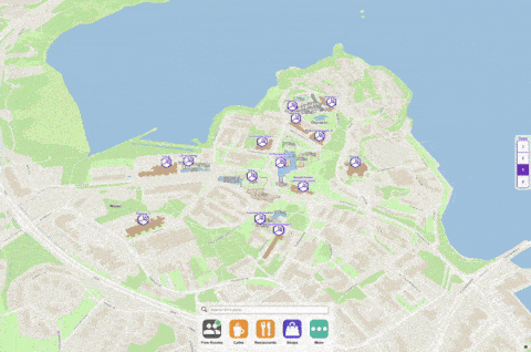
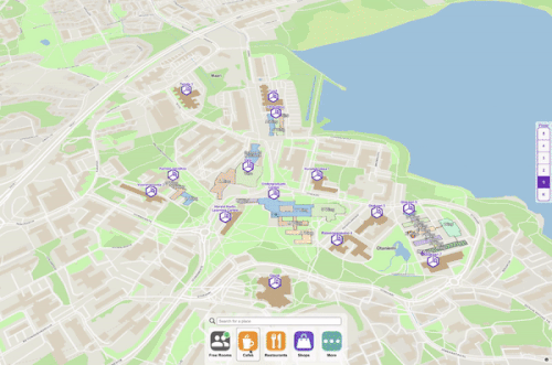
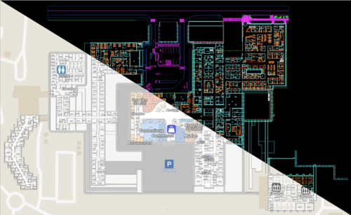
- Connect all campus CAD drawings into colorful, digital, interactive maps, and floor plans
- Search and create points of interests on the map
- Use on your website for visitors, patients, and staff
- Publish and manage service listings and their location on the map
- Invite patients and visitors with map links prior to visit, over text messages or QR code
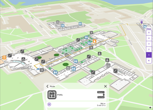
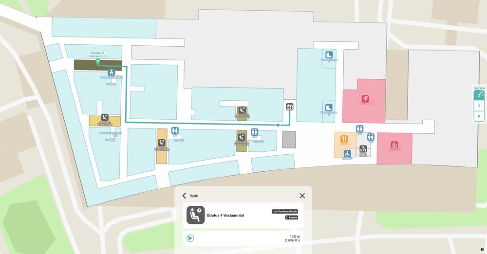
- Get point-to-point walk instructions to the destination
- Locate yourself using a smartphone with Google-style navigation indoor and outdoor
- Opt-in to share your real-time location with colleagues
- Gain situational awareness on whats happening at the campus by collecting locations of opted-in individuals overlaid with occupancy and other IoT data available.
- Search and reserve workspace and meeting rooms .
- See live availability status for any space and room, w/occupancy sensors & calendar status .
- Get space occupancy and utilization statistics over time .
- Digital map engine
- Map Editor
- AutoCAD import to maps
- Wayfinding beacons (optional)
- Occupancy sensors (optional)
- Space reservation module (optional)
Pilot Road Advantage
Pilot Road provides several functionalities on one platform, including interactive 3D maps, wayfinding, indoor positioning, space availability information, and room/space booking solutions.
Pilot Road gives the organization a single, up-to-date data set of the campus and eliminates the need to maintain siloed versions of the same data. Unlike any image-based mapping solutions, Pilot Road maps are directly connected to actual facility CAD drawings for easy updates. Integrate into existing systems. Thanks to the open nature of the platform, no vendor lock exists as all data is available through open APIs.
It gives visitors and patients a seamless indoor-outdoor wayfinding experience before and during their hospital visit. Embed maps as part of the hospital website, use the Kiosk app in interactive displays, and QR-code/SMS based links for accessing the maps on mobile.
Getting Started
The Pilot Road Smart Hospital Guide has been deployed from a single building to a complex 10 million sq.ft multi-building environments. Delivering navigation and search on the hospital website has a 2-6 week lead time.
The indoor-outdoor positioning feature does not require any network connectivity nor wiring. It works seamlessly across the campus, and it is designed for easy installation with zero calibration or expertise. Integration with existing RTLS and Active RFID location solutions is also available.
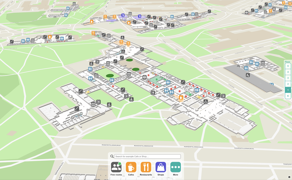
A Single App for All Screens
Whether the users are at home on their computer, standing at a kiosk in an entrance, or roaming along your corridors, Pilot Road Campus Guide provides a consistent experience with all the information readily available on any platform.